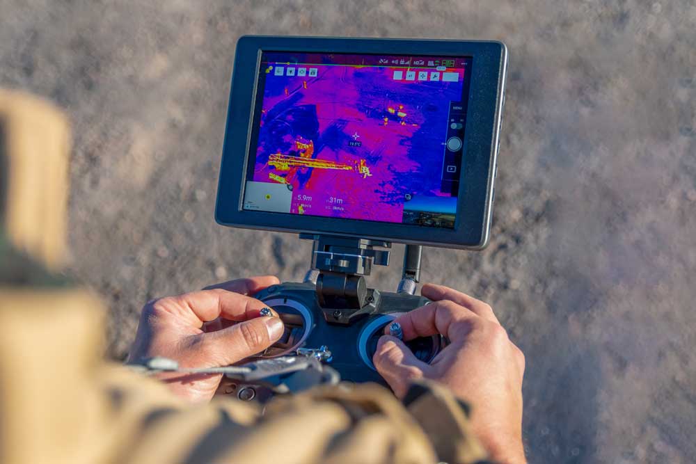
HiDrone’s thermal imaging professionals are able to gather data about a specific site that would not typically be easy to inspect. By looking for hot spots or the rate at which heat is lost, thermographers are able to make insightful conclusions about a survey area. Traditional thermography has given a new perspective when paired with a drone. When taking thermal imaging to the air, our clients are able to see temperature patterns from large areas in real time. Using drones to deploy a thermal system allows for a unique perspective, giving a thermographer the ability to look from above while safely standing on the ground. This improves the safety of the operation and allows for delicate infrastructure to be examined without the invasiveness of a traditional thermal camera.
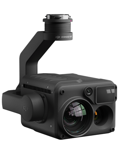
Cameras are able to capture thermal images in 4k and display the data in real time back to the operator. Hot spots and other problem areas in critical infrastructure are able to be recognized and addressed before a failure takes place. Using drones to deploy your thermal system allows for an efficient process to find heat anomalies and quickly create thermal orthomosaics.
Energy, agriculture, structure fires, roofing, geography

