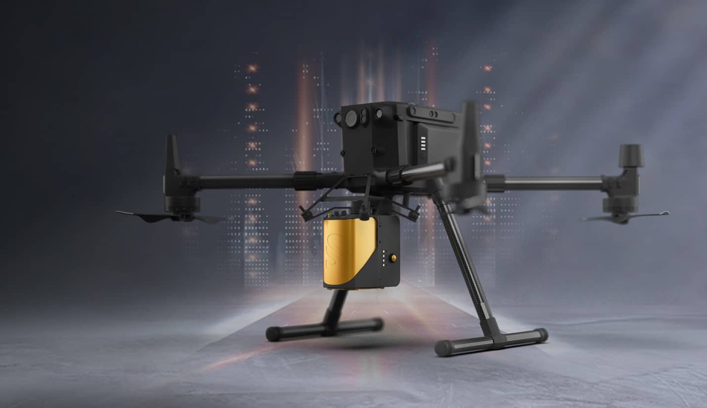
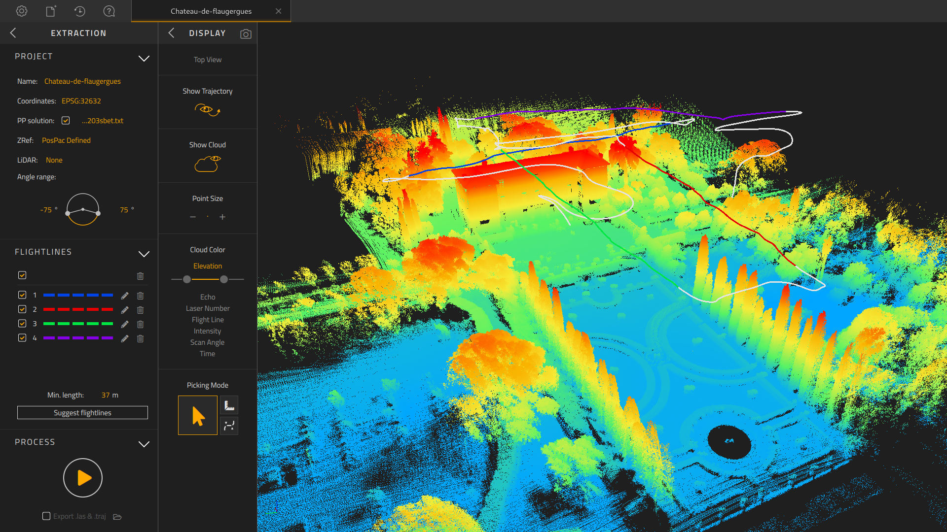
Light Detection and Ranging (LiDAR) creates a detailed diagram of an area. Using light in the form of a pulsed laser, a LiDAR scan can recreate environments and structures down to a centimeter of accuracy for a more detailed model than other forms of data collection. When flown from a drone, a wide area is able to be captured giving a detailed depiction of the environment. The highly accurate 3D models can be used to obtain a wide variety of information from general topography to real time measurements of specific features. Experienced pilots can provide a safe and effective way to capture acres at a time and provide real time data. Paired with RGB photogrametery clients can switch between a point cloud view and an accurate full color 3D model.
LiDAR is regularly used to measure vegetation density, topography, and man made structures. When surveyed over time it is possible to measure the change in these areas to determine environmental impact on current or future structures. LiDAR has been used in construction, environmental planning, archeology, and the energy sector. By understanding the environment you can model water flow, monitor topographical changes, and create useful planning tools for future development.
Deploying a LiDAR system is customizable for each project. HIDrone can create a customized LiDAR deployment plan for your site, that will ensure a high enough point cloud for accurate data and real solutions.
Contact us for consultation on your specific application.

